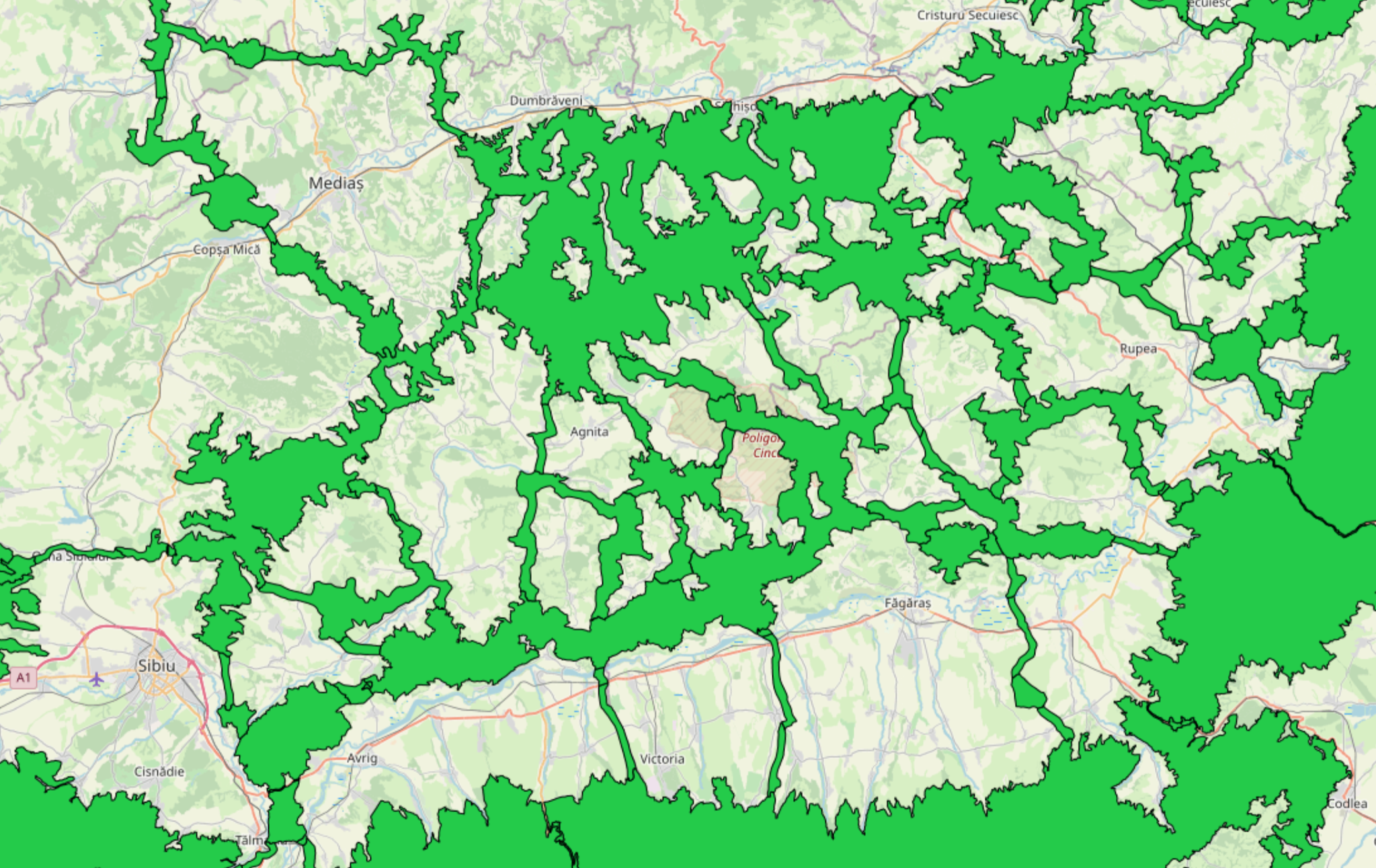

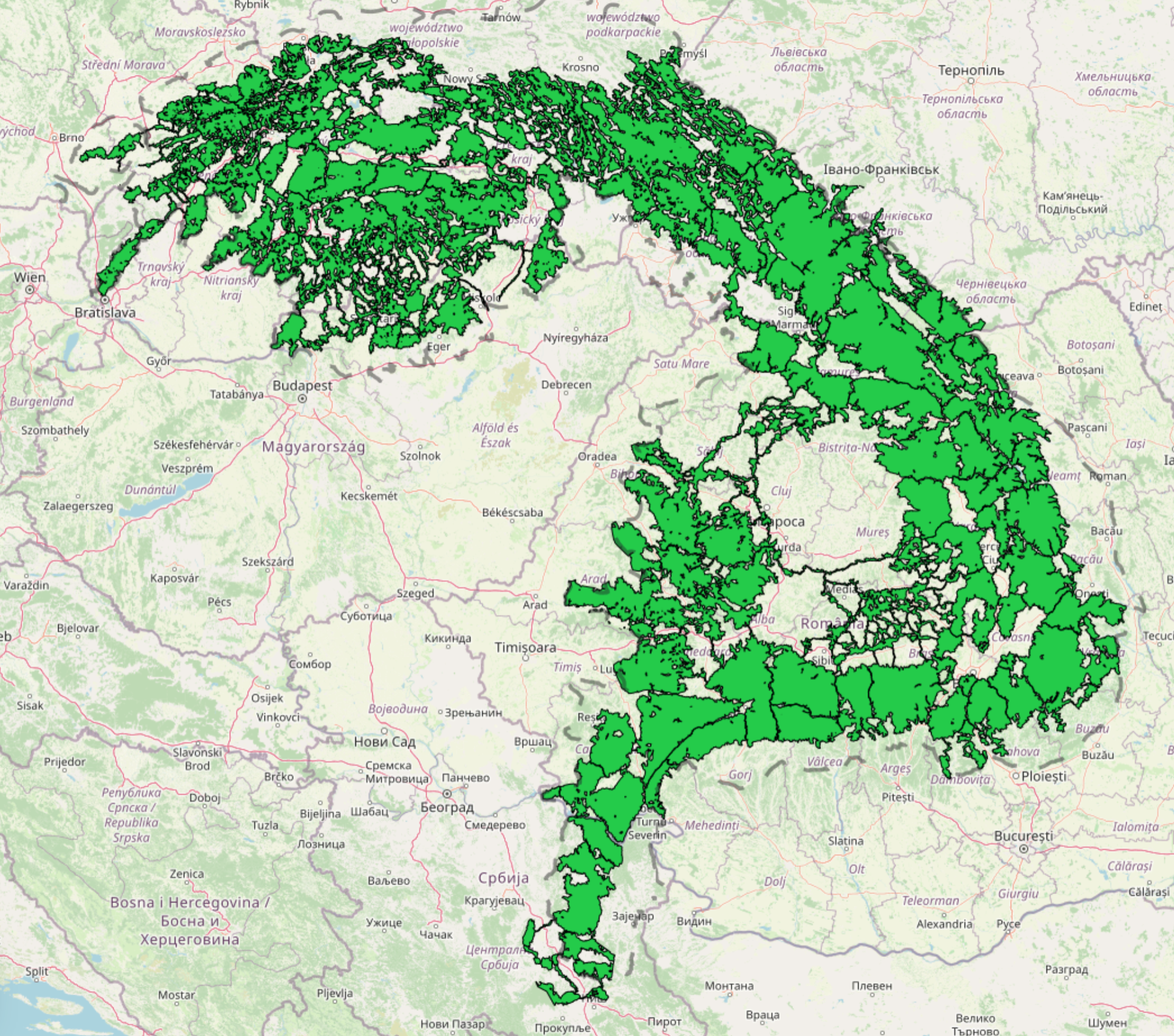
Thematic map Map of core areas and ecological corridors for large carnivores in the Carpathians includes the output layer from ConnectGREEN Project on the modelled core areas and ecological corridors in the Carpathians. The map was produced while implementing the “Methodology for identification of ecological corridors in the Carpathian countries by using large carnivores as umbrella species” (Okanikova et al, 2021) developed within the ConnectGREEN Project. It includes three main categories of elements – (1) movement / migration zones, (2) critical zones, and (3) favorable and suitable habitats. The project was implemented between June 2018 and October 2021.
The data are also presented in ConnectGREEN Project story maps available here: https://storymaps.arcgis.com/stories/1db168fb6dc94463b3ffca6481bc1d7e
The presence of large carnivores in nature sometimes stirs polarized discussions about possible conflicts with humans, but those conflicts are often just one of the consequences of landscape fragmentation. As the living space of bear, wolf and lynx is shrinking, the number of contacts with people may be increasing. These species are tied to large undisturbed forest areas with no or very little low human presence. Furthermore, long distance movement is a part of their biology.
Large carnivores are called “umbrella species”. If they have proper space to move/migrate, it indicates the fact that also smaller species can.
For more information, please contact: Dusan Rompotl, Dusan.Romportl@vukoz.cz, VUKOZ (The Silva Tarouca Research Institute for Landscape and Ornamental Gardening), Kristyna Vlkova, vlkova@vukoz.cz, VUKOZ (The Silva Tarouca Research Institute for Landscape and Ornamental Gardening)