
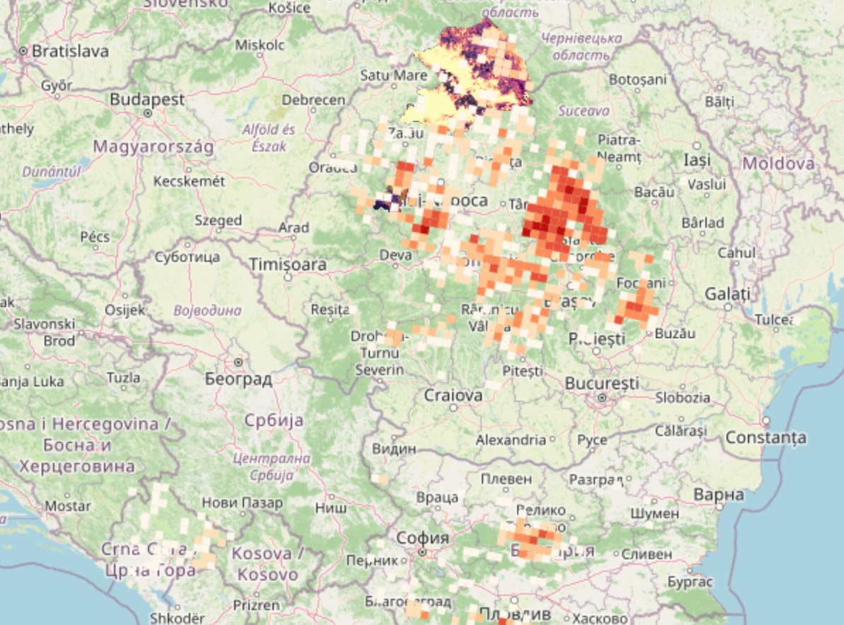
The Shared Balkan-Carpathian-Dinaric GIS database informs management authorities about potential large carnivore movement patterns along forest corridors under different climate scenarios. The database has been developed within the ForestConnect project (2024–2026), supported by the Interreg Danube Region Programme co-funded by the European Union.