Thematic map Bükk National Park – Cerovina Vrchovina Pilot Area contains data for the Bükk National Park – Cerovina Vrchovina Pilot Area collected within the ConnectGREEN Project.
Description
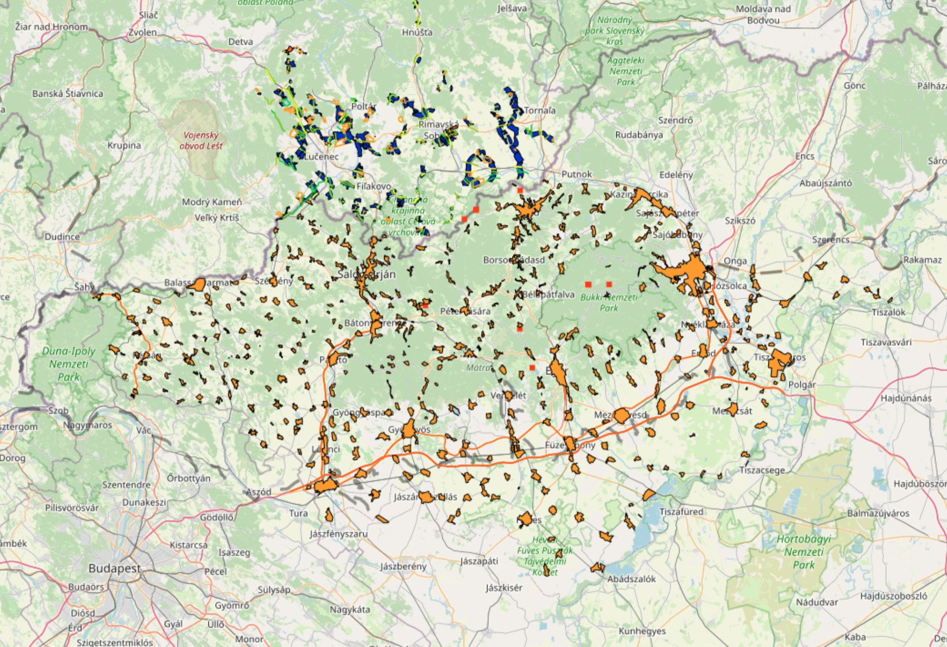
ConnectGREEN’s fourth pilot area is situated in the western Carpathians on the border between Hungary and Slovakia, which sustains an enormously rich plant and animal kingdom, thanks to the area’s unique climate and its unusually varied terrain. The northern section of the pilot area consists of the Cerová vrchovina Protected Landscape Area (PLA) in Slovakia: spanning across 16,771 hectares, its territory is predominantly covered by Pannonian flora, which sets it apart from the rest of Slovakia. The northern, more alpine section of the PLA, hosts viable populations of all three European large carnivore species, while the middle part, which is transected by the I/16 first class road and the future R2 expressway, acts only as a transitory area for large carnivores. In the south, experts have confirmed a permanent presence of wolves and recorded sightings of bears. Still functioning migration corridors across the border to the Bükk, Aggtelek and Duna-Ipoly National Parks in Hungary ensure that this is the area in the country where large carnivores are most likely to be encountered. The Bükk National Park Directorate manages 884,736 hectares, 43,169 ha of which form the national park, while the rest is divided among 9 landscape protection reserves, 14 nature conservation areas and 39 natural monuments.
Fieldwork
On the Hungarian side of the pilot area, the team, supported by the ASP Bükk National Park Directorate and Bükk Mammal Research Group Association, used modelling performed with previously gathered data to designate monitoring sites that were best suited to provide crucial information on the routes of migratory wildlife. The methods deployed in the field encompassed linear transect methods, camera trapping, acoustic monitoring and the evaluation of data received from third parties, such as roadkill incidents. On the Slovak half of the pilot area, the mapping was realised by local experts, who sought to verify the permeability of migration corridors previously identified in digital modelling.
The data collected during the project fieldwork can be accessed here. Within the ConnectGREEN Project, the corridors in this pilot area have been identified following the Methodology accessible here.