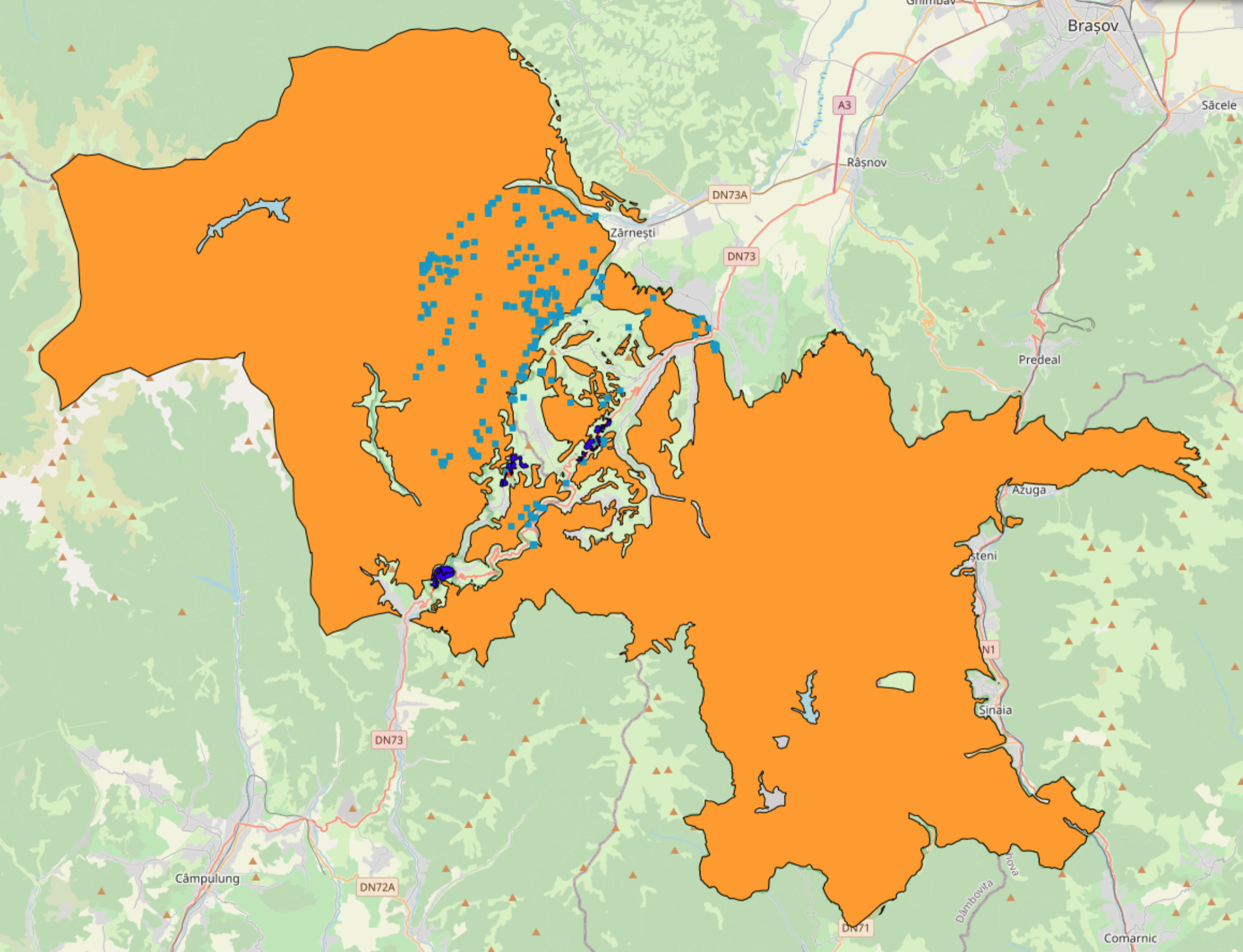
Thematic map Piatra Craliului – Bucegi Nature Park Pilot Area contains data for the Piatra Craliului – Bucegi Nature Park Pilot Area collected within the ConnectGREEN Project.
Overview
Piatra Craiului National Park (PCNP) and the Bucegi Nature Park (BNP) together form the first of ConnectGREEN’s 4 pilot areas. The two parks, covering some 47,000 hectares of land between them, are situated along the Southern end of the Carpathian arc. The project activities focussed on the areas both west and east of PCNP. The eastern side represents the link to the Leaota Natura 2000 site and BNP, is home to several villages and a national road that is to be renovated and upgraded. To the west, PCNP links up with the Iezer-Papusa and Fagaras mountains. The area is made of traditional natural landscapes with scattered houses and settlements, and features only low volumes of traffic with the two main valleys, Barsa and Dambovita, being serviced by secondary or forest roads. Due to their vicinity to the national park, the easy access and the general beauty of the landscape, both areas carry a significant tourism development potential.
Fieldwork
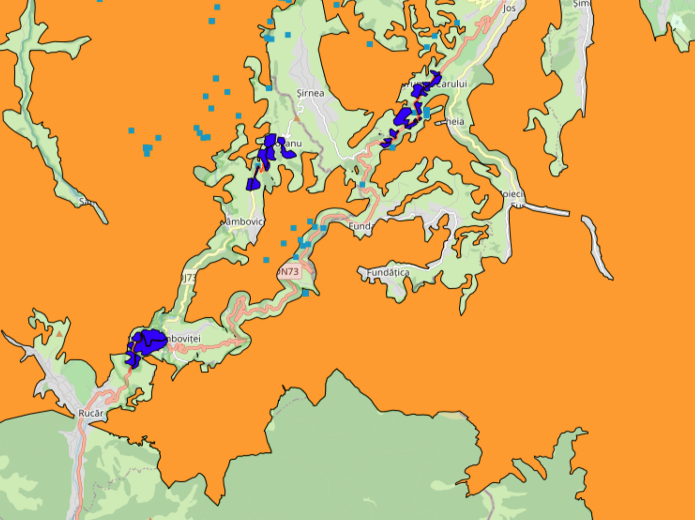
During ConnectGREEN’s 3,5-year runtime, the project partners responsible for the pilot area set up 25 camera traps at specifically identified locations in the studied area. Toward the end of the project, the team had registered 461 signs of large carnivore presence in the pilot area between January 2019 and March 2021. These included 132 signs of wolves, 217 of bears and 112 of lynx. The gathered data was used to delineate a network of ecological corridors along which large carnivores and other wildlife move throughout the territory of the two parks. The resulting map was further refined by integrating the field observations made of major migration barriers and areas whose permeability was impaired.
Lessons learnt
The implementation of ConnectGREEN’s activities in the PCNP/BNP pilot area clearly demonstrated that there can be no one-size-fits all solution to safeguarding ecological connectivity across the Carpathian region. In this pilot site, this was exemplified by the existence of two different types of villages in the studied area ̶ one, mostly at higher altitudes, made up of scattered houses and surrounded by hay meadows and forests and thus very permeable for wildlife crossings; the other, predominantly in the valleys, featuring numerous houses, built side-by-side, and strongly fenced surrounding landscapes, making it very hard for wildlife to pass through. The two scenarios require completely different management approaches to preserve ecological connectivity and prevent human-wildlife conflict.
The data collected during the project fieldwork can be accessed here. Within the ConnectGREEN Project, the corridors in this pilot area have been identified following the Methodology accessible here.