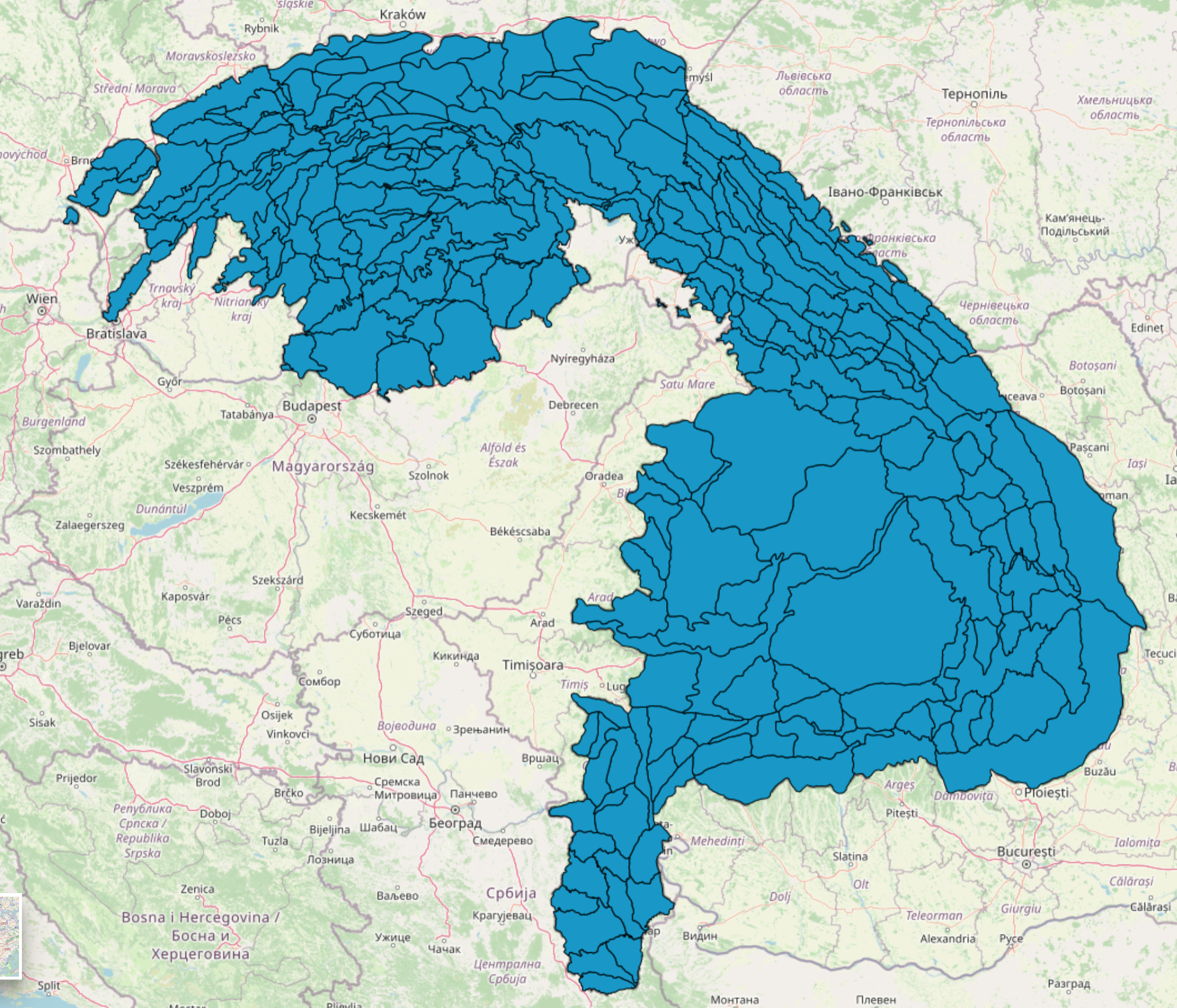
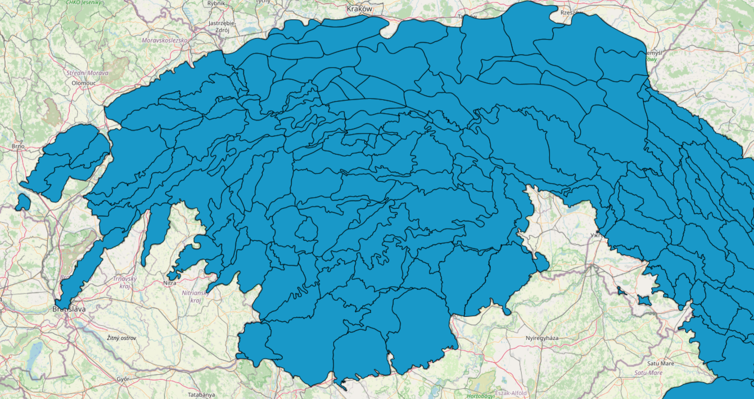
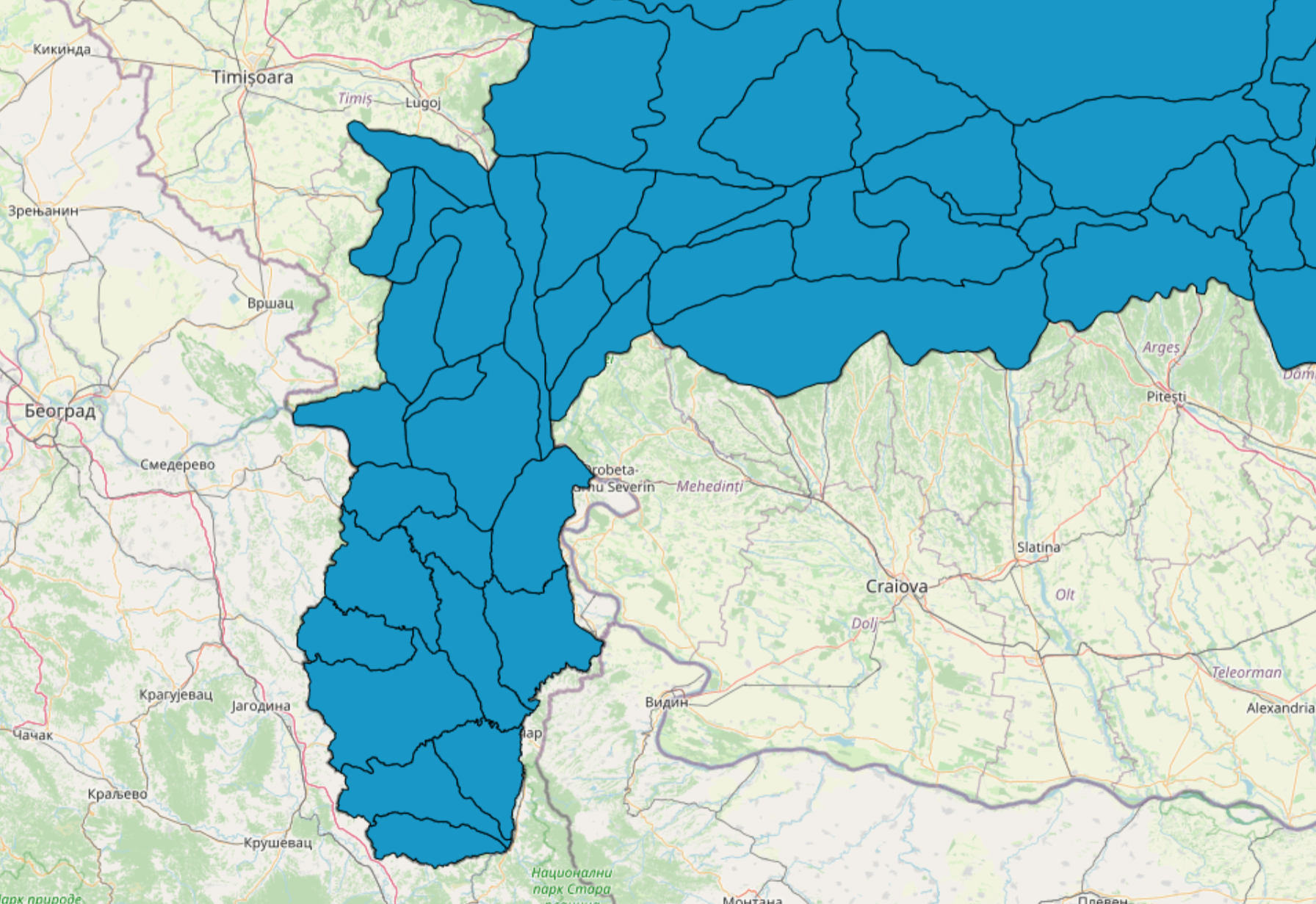
Thematic map Orographical Units provides information about orographical units (about the topographic relief of mountains) in the Carpathian countries.
Daphne Environmental Consulting, Slovakia, together with partner organisations developed the orographical units displayed here. The scheme was developed manually by using the digital elevation model, with some corrections in the GIS environment. The estimated geometric accuracy of the obtained geo-dataset of the orographic units corresponds approximately with a 1:100,000 map scale. They are the result of the projects “Towards an Ecological Network for the Carpathians I and II” funded by BBI Matra and DBU, and form the basis of the CCIBIS and the Red Lists of Species, Habitats and Alien Invasive Species you can find on this geoportal.