This page includes references to other sources of data on national and international level about the biodiversity protection, spatial planning and land-use in the Carpathians.
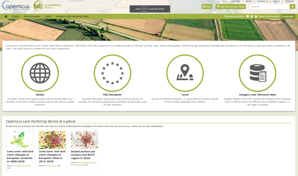
Copernicus Land Monitoring Service
Copernicus is the European Union’s Earth observation programme. Information from this programme is provided through six thematic services: land, marine, atmosphere, climate change, emergency management and security. All information is free and openly accessible to all users. The Land Service is divided into four main components:
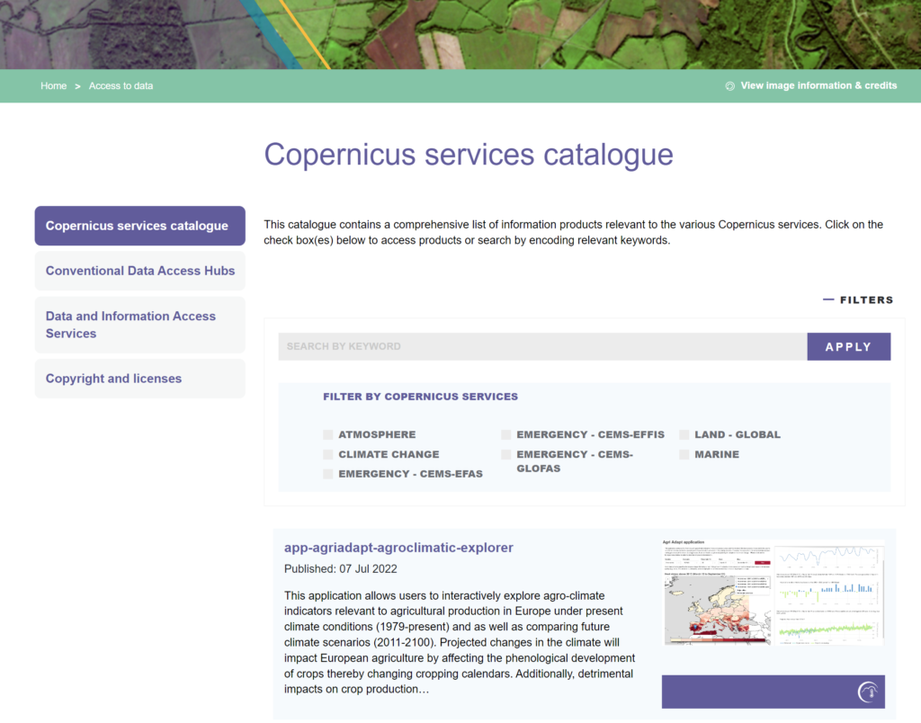
Copernicus Service Catalogue
This catalogue contains a comprehensive list of information products relevant to the various Copernicus services.
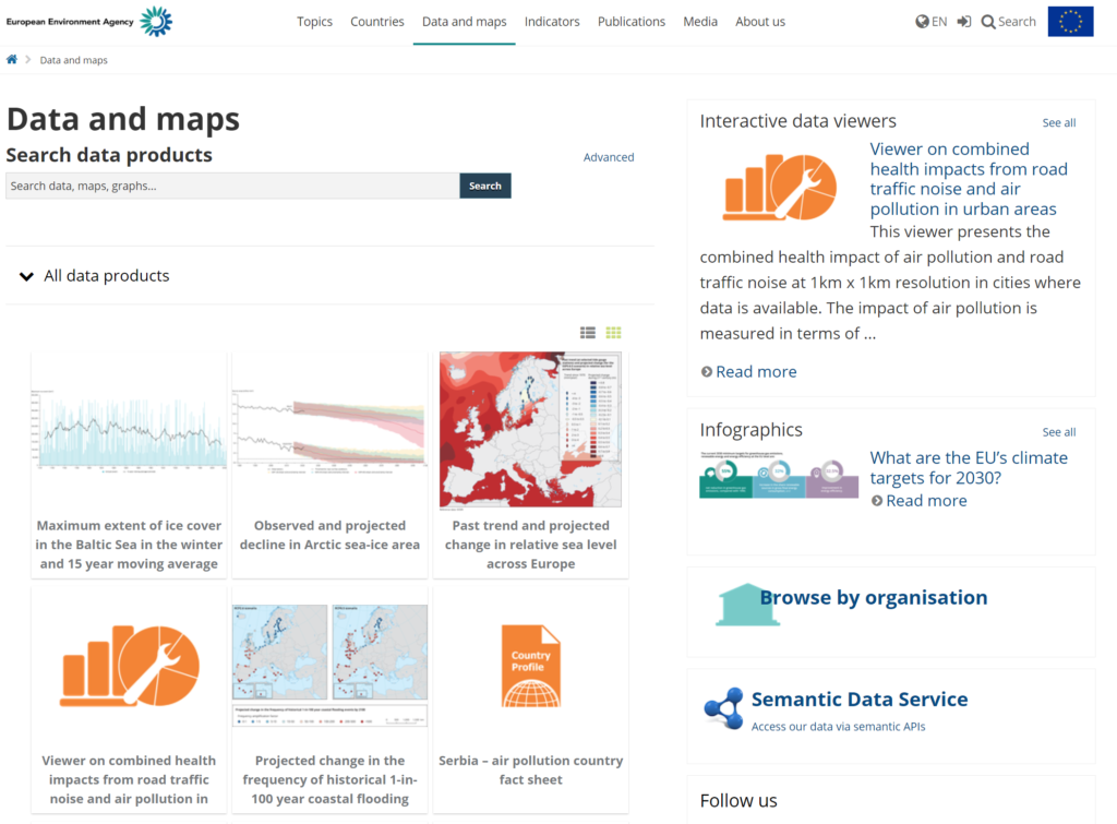
European Environmental Agency
Contains datasets and maps collected by the European Environmental Agency
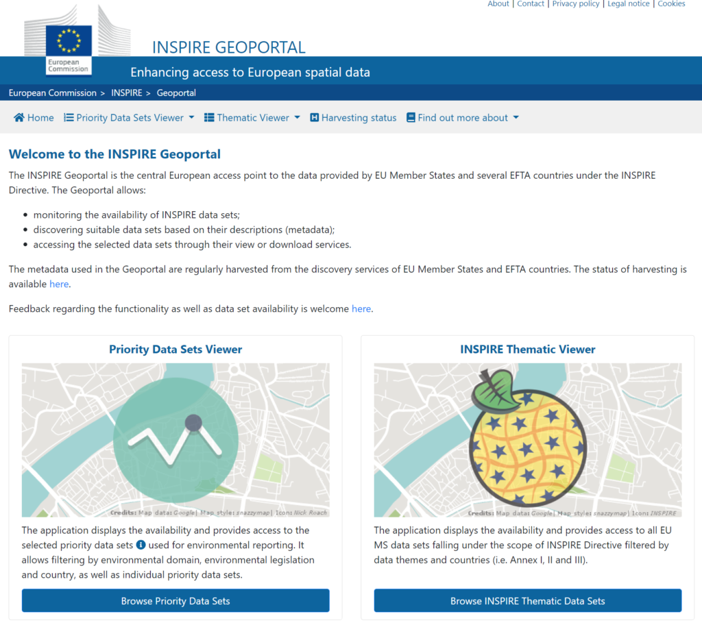
INSPIRE Geoportal
The INSPIRE Geoportal is the central European access point to the data provided by EU Member States and several EFTA countries under the INSPIRE Directive. The Geoportal allows monitoring the availability of INSPIRE data sets;
discovering suitable data sets based on their descriptions (metadata); and
accessing the selected data sets through their view or download services.