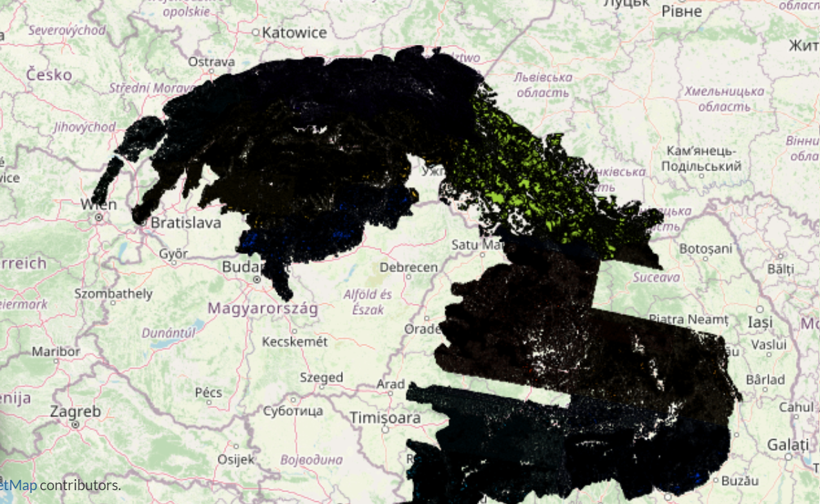
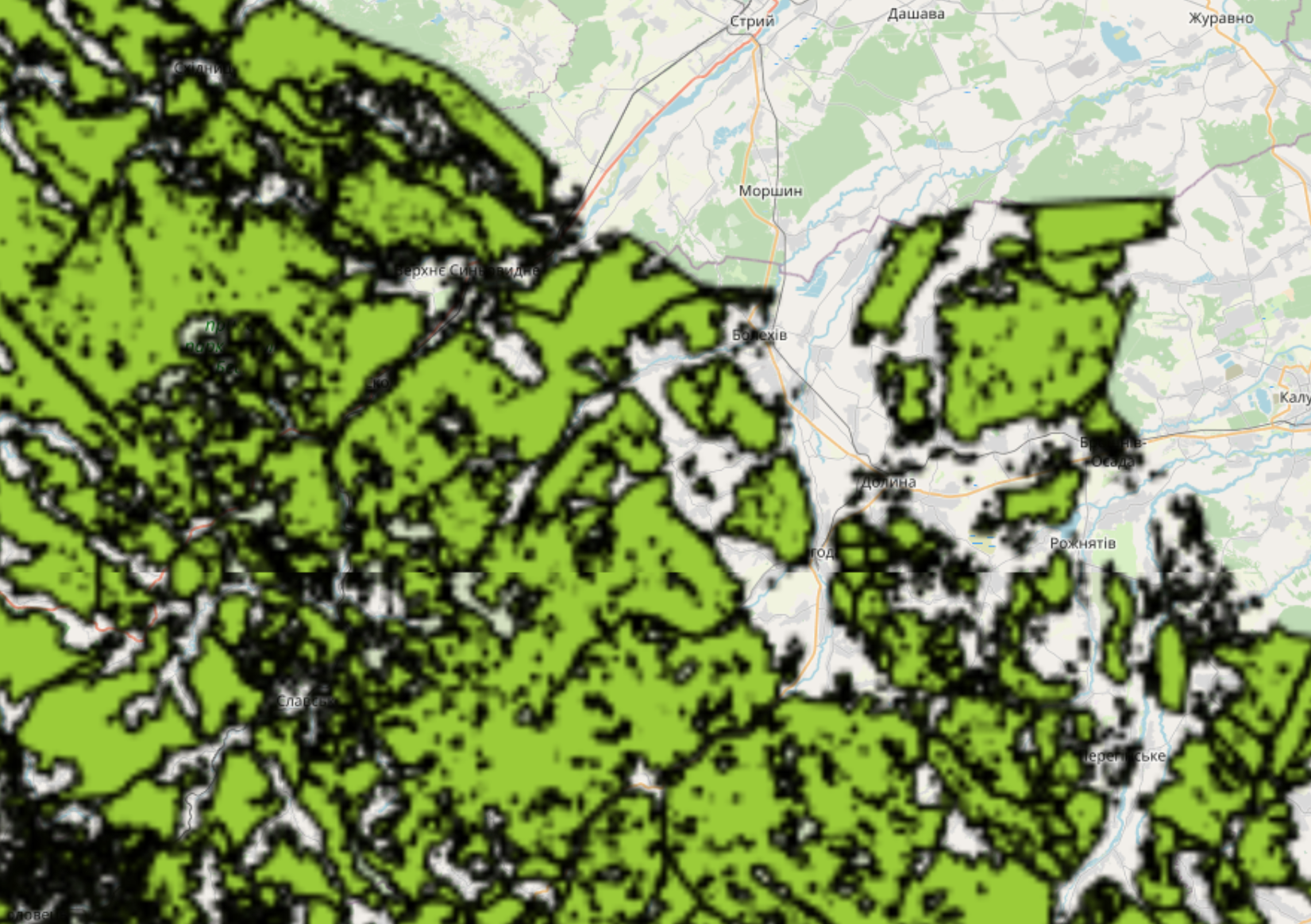
Thematic map Forests in the Carpathians contains data for forests in the Carpathian mountains collected by Copernicus Project.
The HRL Forest 2018 status layer Forest Type (FTY) has been created in frame of the tender “EEA/IDM/R0/18/009 – High Resolution land cover characteristics for the 2018 reference year” as part of the EEA Copernicus Land Monitoring Service (CLMS, https://land.copernicus.eu). The FTY raster product provides a forest classification with 3 thematic classes (all non-forest areas / broadleaved forest / coniferous forest) at 10m spatial resolution and with a Minimum Mapping Unit (MMU) of 0.5ha applied. This layer is largely following the FAO forest definition with tree covered areas in agricultural and urban context excluded and covers the full of EEA39 area. More about the High Resolution Layers and CLMS datasets can be found at https://land.copernicus.eu/pan-european.
More information: https://land.copernicus.eu/pan-european/high-resolution-layers/forests/forest-type-1/status-maps/forest-type-2018?tab=metadata