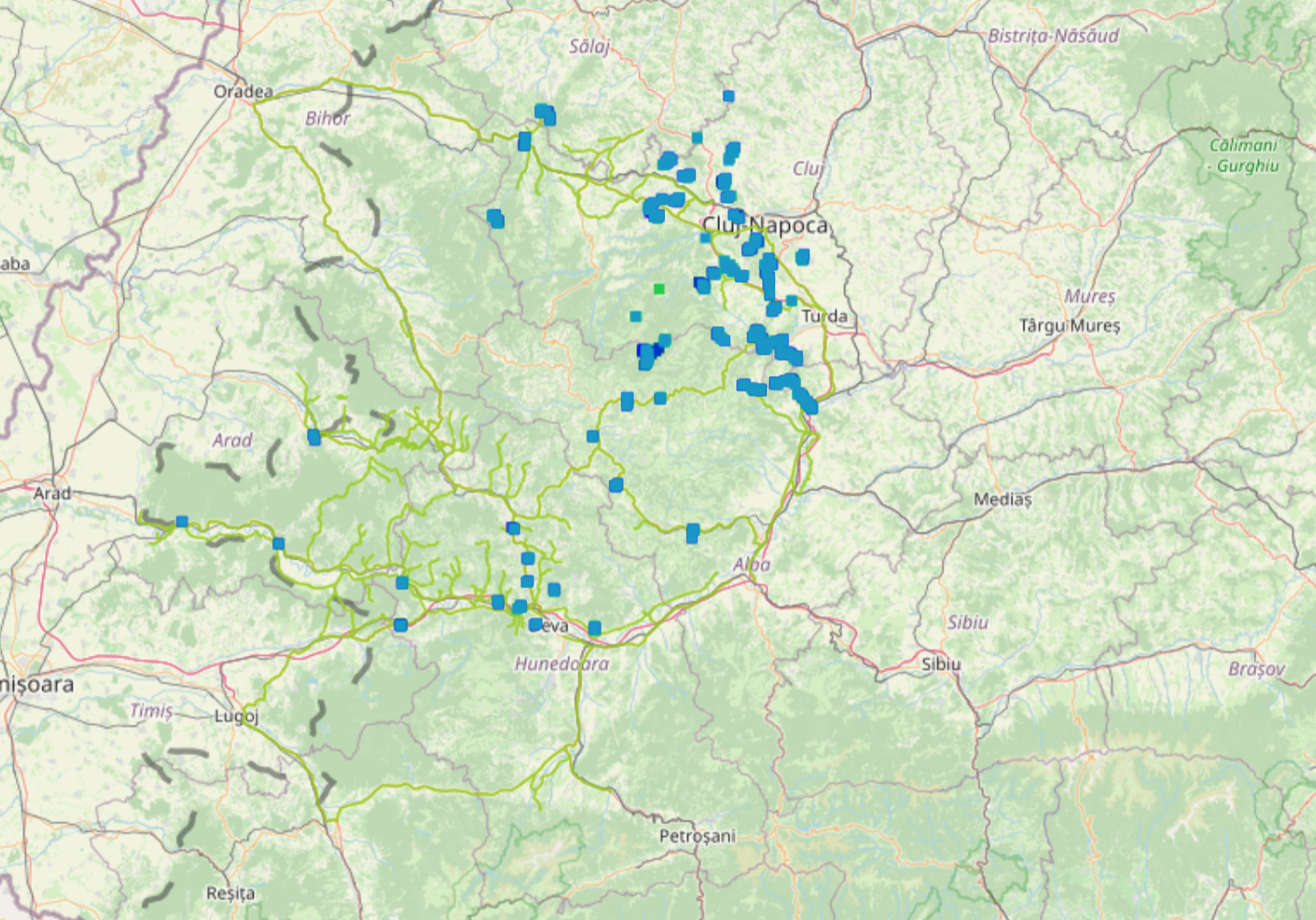
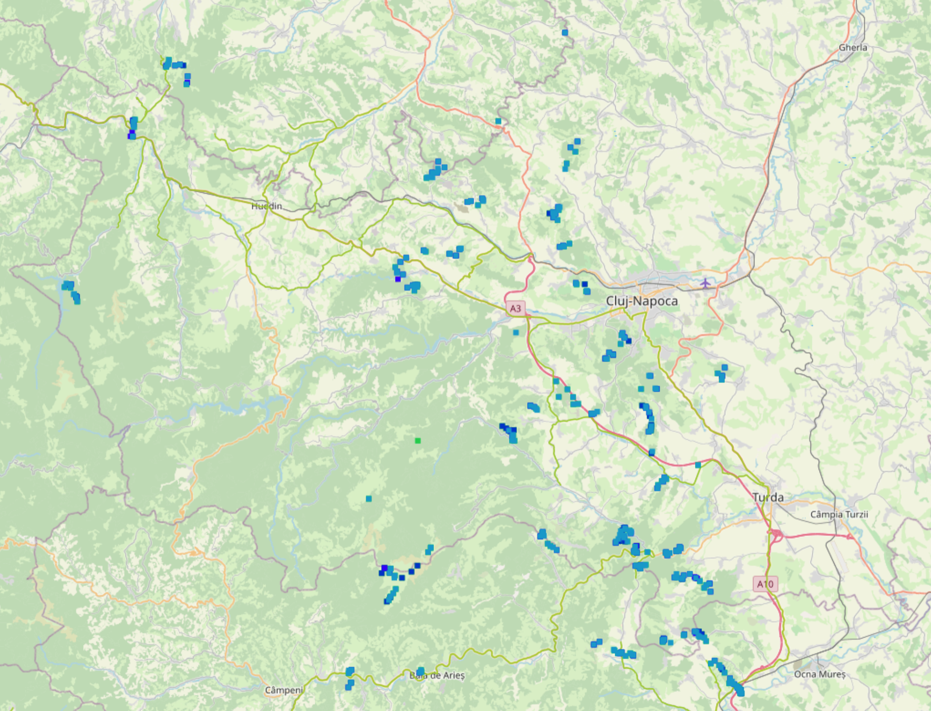
Thematic map Apuseni-Djerdap Pilot Area contains data for the Apuseni-Djerdap Pilot Area collected within the ConnectGREEN Project.
Description
ConnectGREEN’s 2nd pilot area stretches across south-western Romania from the Apuseni Mountains in the north along the Carpathian arc across the border into Serbia. The area is a regional biodiversity stronghold and, consequently, boasts a large number of national parks, protected areas and Natura 2000 sites. The Romanian segment of the pilot area has the highest concentration of national parks in the entire country. Even non-designated areas that do not benefit from a specific protection regime display levels of biodiversity worthy of national park status in other regions of Serbia or Romania. Across the Danube in Serbia lies Djerdap National Park, covering some 63,786 hectares. It is the only area in Serbia covered by the Carpathian Convention. All three European large carnivores ̶ bear, wolf and lynx, can be found in the project area. The region is, however, also the focus of several large infrastructure projects which threaten to disrupt the animal migration routes between individual core habitat areas, thus endangering the ecological connectivity between the southern Carpathians and the remainder of the mountain ranges to the north.
Fieldwork
In the course of ConnectGREEN, 180 monitoring sites were monitored in the Apuseni Mountains over a period of several months with the help of more than 20 wildlife cameras. In the south-western Carpathian section of the pilot area, the team also used a set of over 20 cameras to monitor specific points. The cameras were left at each site for a minimum of 2 weeks, during which time all passing animals were recorded. These monitoring sites cover all bottleneck areas that were previously identified by the team in a modelling of ecological connectivity in the Carpathians. In Djerdap National Park, 14 cameras were set up in 3 critical zones and left there for several months. In the Apuseni section of the pilot area alone, the camera traps captured a passing bear on 58 occasions, while a wolf was seen 32 times. Further south along the Carphatians, the cameras caught wolves on film 12 times as well as 5 individual bears. These results confirm that many of the identified corridors are actively used by wildlife, even those which enter into close proximity to the highway. The field team was also heartened to discover that several of the ecoducts constructed in the area over the past years have been accepted by local wildlife. In Djerdap National Park, wildlife cameras captured a passing bear 1 time, lynx 2 times, and wolves 140 times.
The data collected during the project fieldwork can be accessed here. Within the ConnectGREEN Project, the corridors in this pilot area have been identified following the Methodology accessible here.